Cultural Resource Management
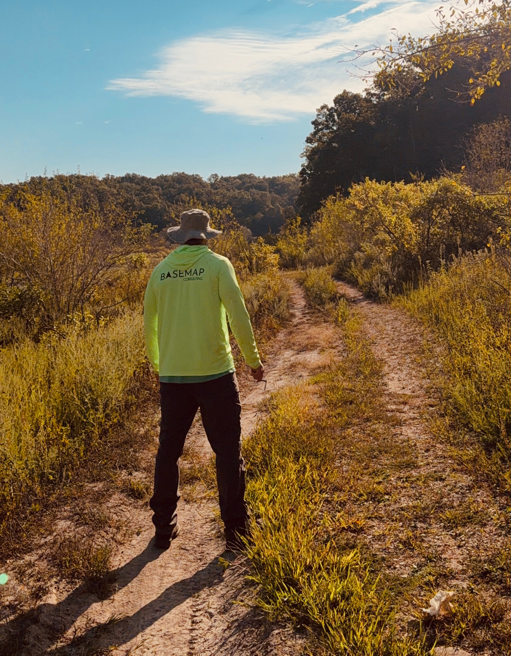
Most cultural resource projects run through two firms: an archaeology contractor who walks the ground and a survey or GIS shop who maps it. Basemap does both. Our geospatial archaeologists document sites in the field and tie every shovel test, artifact, and feature to survey-grade coordinates the same day. You get a Section 106 compliant report and a mapping package that drops straight into your project’s design and permitting files.
PHASE I
Cultural Resource Assessment Surveys
Background research, pedestrian survey, and systematic shovel testing to identify archaeological sites within your project area. We deliver a report suitable for Section 106 review, SHPO or THPO submittal, and NEPA documentation, with site boundaries recorded to survey-grade accuracy.
PHASE II
Site Evaluation
Controlled testing and analysis to determine whether an identified site is eligible for the National Register of Historic Places. Our reports give agencies and reviewers a clear basis for eligibility findings and effect determinations.
PHASE III
Data Recovery
Full excavation and documentation when a significant site cannot be avoided. We coordinate with your agency and the reviewing SHPO or THPO on the research design and see the work through to a final technical report.
Section 106 and NEPA Compliance Support
Area of potential effects definition, consultation package preparation, and technical support for federal undertakings. We work with lead agencies, tribal governments, and state historic preservation offices to keep your compliance record clean and your schedule moving.
Artifact Processing and Curation
Cleaning, cataloging, analysis, and preparation of collections and records for permanent curation at a state or federally approved repository, to that repository’s standards.
Geospatial Archaeology
Drone LiDAR to reveal earthworks, mounds, historic roads, and structural footprints under tree cover. High-resolution orthoimagery and 3D models of sites and excavations. Predictive mapping to focus survey effort where sites are most likely. Every product is georeferenced by licensed surveyors and delivered in your project’s coordinate system.
Why Choose Basemap Consulting?
One firm for the field and the map. Our archaeologists and surveyors are the same crew. Site boundaries, shovel test locations, and features are recorded with survey-grade GPS, not a handheld unit, so your archaeology report and your engineering plans agree.
Led by a Registered Professional Archaeologist. Every project is directed by an RPA registered Principal Investigator who meets the Secretary of the Interior’s Professional Qualification Standards.
Faster coverage on large tracts. LiDAR and aerial imagery let us assess terrain and identify high-probability areas before boots hit the ground, which means fewer wasted field days and tighter cost estimates on big project areas.
Built for federal work. Basemap is available for federal, local, tribal, or state projects and holds surveying licensure in Georgia, Florida, and Texas. We understand what agency reviewers expect in a report and how to keep a compliance timeline from slipping.